François Valentyn's Sincapoera
I want to draw your attention to an old map prepended by a Dutch pastor named François Valentyn (b. 1666, d. 1727) before he began his Book VII in Volume 51: A description of the island of Sumatra and our trade there.

Valentyn's map clearly shows a number of bandars2 dotting the southern end of the peninsula. The names given by him were: Senasur, Djohor, Passir, Sincapoera, and Tantan Velha. The site of Passir is likely closely related to modern Pasir Gudang and it was separated by the Johor River and Rio Falco (probably Tebrau River). Sincapoera, on the other hand, was positioned between the Oude Straat (probably the mouth of Pulai River, present day Tanjung Pelepas) and Rio Falco. A distinctive feature of the map is that modern Singapore appears as an unmarked block, whereas Bintan is clearly labeled. This implies that modern Singapore held relatively low maritime significance when these cartographic data were being compiled.

Valentyn's seaport labels are not particularly noteworthy on their own. What becomes truly interesting is when we compare them to a Chinese map3 that predates the European map by about 300 years. Known as the Mao Kun map, it includes sailing directions likely used by Zheng He's expeditions, featuring linear chains of cities whose positions are topologically4 accurate relative to the islands.
Two bandars are depicted between Pahang and Melaka. Sailing from Pahang, the next stop was a place called Dannaxi Yu 荅那溪嶼5, and the port next to it was Danmaxi 淡馬錫. The former is likely linked to the site of Johor Lama and can be connected to Valentyn's Djohor. The name is probably a Chinese transliteration of Tanah Seri, which, in turn, was the Malay translation of Golden Chersonese. The latter is easily interpretable as Temasik, the purported old name for Singapura, and should be matched with Valentyn's Sincapoera.

If Temasik and Singapura can be used interchangeably, the positional consistency between the Chinese and European cartographic data appears to suggest that the Singapura described in Sejarah Melayu is located between the Pulai River and Tebrau River, visible from Mount Pulai. This interpretation, however, immediately creates a conflict when Eredia's Sincapvra (1604) is invoked. A workaround to the Singapore problem can be attained if the entire region below the transpeninsular river was assigned as continental Singapore. Kâtip Çelebi (b. 1609, d. 1657) did exactly just that in Cihānnümā. A map of Sumatra can be found in the book and the southern part of the Malay peninsula is assigned the name: Singapura (سينغاپور).

-
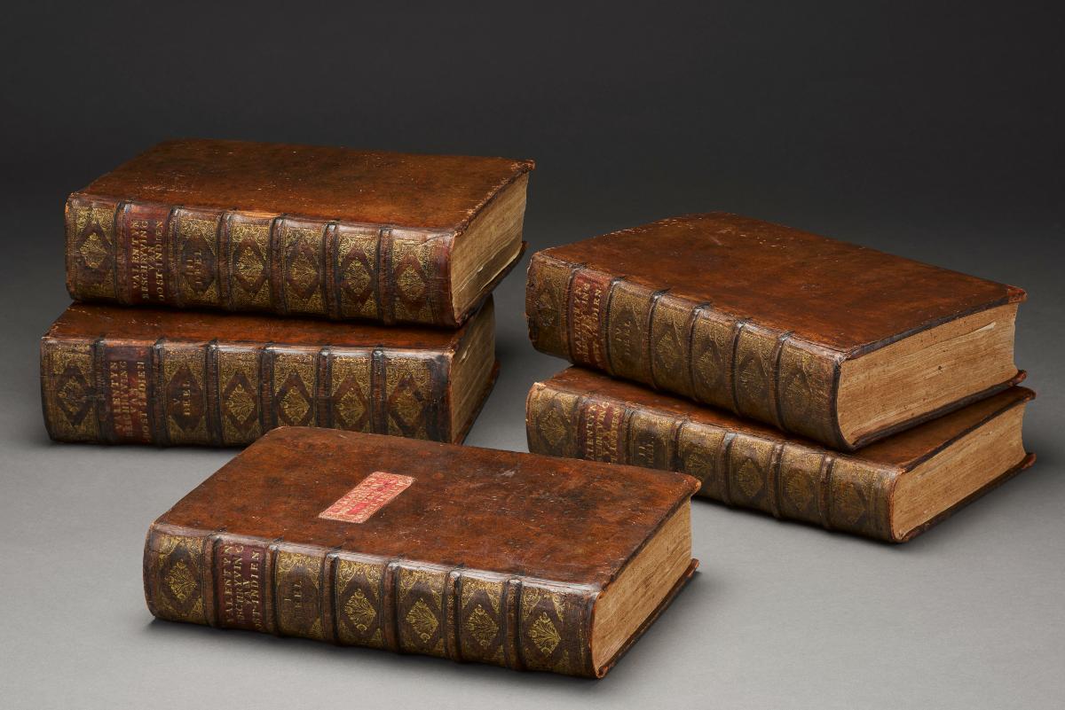
F. Valentyn (1726) Oud en nieuw Oost-Indiën. Volume 5: Carefully curated description of Coromandel, Pegu, Arakan, Bengal, Mokha, the Dutch trading post in Persia; and some fine matters regarding the ruins of Persepolis. A neat description of Malacca, the Dutch trading post on the island of Sumatra, along with an extensive geographic description of the island of Ceylon, and a detailed account of its emperors and affairs of the past; as well as of the Dutch trading post on the Malabar Coast, and our trade in Japan and the island of Mauritius, including matters relating to all the aforementioned kingdoms and lands, illustrated with many engravings and maps, Joannes van Braam, Dordrecht.

François Valentyn's Oud en nieuw Oost-Indiën (Old and New East India) in the collection of National Museum of Singapore (2017-00623), published between 1724 and 1726.
Valentyn was a contemporary of Newton (b. 1624, d. 1727) and they both died in the same year.
Valentyn's map can also be found in Borschberg (2010). The map reviewed by Borschberg was sourced from the University of Leiden (Map Collection, 58 n. 4) and was hand-colored. See P. Broschberg (2010) The Singapore and Melaka Straits: Violence, security and diplomacy in the 17th century, NUS Press, Singapore, p. 19.

Cincapura in Ortelius's map (1590)
In Ortelius's map (first published in 1570), Cincapura was placed also in the mainland, but all the other cities mentioned in Valentyn's map were not shown.
- Bandar (بندر) is Persian loanword meaning seaport
港湾 or harbor. For instance, instead of ‘lapangan terbang' (which highlights the runway for takeoff in Malay), we have ‘bandar udara' or ‘bandara' for airport in Indonesian. This usage is similar to the Japanese translation of airport:空港 .
- After the ban on state-sponsored naval expeditions, the Ming government destroyed nearly all technical records. Fortunately, around 1873, a British lawyer named George Philips was given some parts of the Wubeizhi 武備志 manuscript of by his Chinese friend. Compiled by Mao Yuanyi 茅元儀 (b. 1594, d. 1640) in 1621, the book was intended as a military encyclopedia. It holds significant value in maritime history, as its final fascicle, Fascicle 240, features a Ming-era map illustrating sailing routes to major seaports in Asia and Africa.
G. Philips (1885) The seaports of India and Ceylon. Part 1/2, Journal of the China Branch of Royal Asiatic Society 20, pp. 209 - 226. G. Philips (1886) The seaports of India and Ceylon. Part 2/2, Journal of the China Branch of Royal Asiatic Society 21, pp. 30 - 42.
- For example, Pahang 彭坑港, Tanah Seri 荅那溪嶼, Temasik 淡馬錫, Batu Pahat 射箭山, Melaka 滿剌加 are seen forming a straight line, which is topologically accurate, but topographically incorrect, since these cities occupied the east coast, southern tip, and west coast of the Peninsula.
- The Malay peninsula is sometimes called the Thai-Malay peninsula since the upper part of the peninsula was inhabited by Thai and Mon-speaking people. In Burmese and Thai, the Tanah Seri mountain system is known as Tanin Tharyi (တနင်္သာရီ) and Tanao Si (ตะนาวศรี), respectively, which is the Tenasserim range. The backbone in the peninsula was the result of the collision between the Sibumasu plate and East Malaya plate. Sibumasu is a shorthand for Siam-Burma-Malaysia-Sumatra, coined by Metcalfe (1984).
I. Melcalfe (1984) Stratigraphy, paleontology and paleogeography of the Carboniferous of Southeast Asia, Mémoires de la Société géologique de France 147, pp. 107 - 118.
荅那 is unambiguously the sound for Tanah or Tanao, 溪 could be the transliteration for ‘Seri' or the Siamese ‘Si'. The place is also known as Ujontana or the end point of Tanah Seri. The word 嶼 is formed by combining the mountain radical 山 and the phonem 與 (e.g. 平地小山,在水爲島,在陸爲嶼). In Mao Kun map, however, the word was used to denote landmark and seamark.
According to Wang Dayuan 汪大淵 (1350), Temasik 單馬錫 managed to withstand a Siamese attack for a month. The Siamese forces eventually withdrew to avoid a confrontation with an incoming Javanese envoy. On their way back to Suphanburi, they plundered a town called Seri 昔里.
近年,以七十餘艘來侵單馬錫,攻打城池,一月不下。本處閉關而守,不敢與爭。遇爪哇使臣經過,暹人聞知乃遁,遂掠昔里而歸.
The town looted by the Siamese soldiers was likely Tanah Seri.
See Wang Dayuan 汪大淵 (1350) An abridged record of insular natives 島夷志畧. For example, see the version edited by Fujita Toyohachi 藤田豐八 (b. 1869, d. 1929), printed by Luo Zhenyu 羅振玉 in 1915, reprinted in 1936 by Wengedian Bibliotheca 文殿閣書莊 in Taiwan.
- Singapura is the Indic name of Temasik and is likely a sister-town to Indrapura, a now-forgotten city in Sumatra located between the Indragiri and Siak Rivers. The name Indrapura is thought to be connected to Siak Sri Indrapura, the homeland of Raja Kecil, the purported son of Mahmud II (the last direct male descendant of the Melaka royal family), who was neutralized by his minister in 1699. Interestingly, the name Indrapura was also used for other regions, including Pahang in Malaysia and Danang in Vietnam, reflecting its widespread influence in the region.
Also, the Indic name of Tra Kieu was Simhapura. Simhapura is an orthographic variant of Singapura.
Temasik's name was memorialized in an entry on Prince Chiêu Văn 昭文王 or Trần Nhật Duật 陳日燏 (b. 1255, d. 1330) in Đại Việt sử ký toàn thư 大越史記全書 (卷七・憲宗皇帝・庚午・開祐二年・秋七月, Julian date: Between 16 July 1330 and 14 August 1330) as Sách Mã Tích 冊馬錫: During the reign of Nhân Tông (r. 1278 - 1293, 1293 - 1308), an envoy from Temasik came to offer tribute. They sought someone who could understand their language but found no one, except for Prince Chiêu Văn, who was capable of communicating with them. When asked how he had acquired this ability, the Prince replied: During the time of Thái Tông (r. 1225 - 1258, 1258 - 1277), envoys from the northern countries arrived, and I associated with them, and thus acquired a little of their language. Nhân Tông once remarked: Uncle Chiêu Văn must be a descendant of the natives, which is why he is skilled in the languages of various countries 仁宗時,冊馬錫國使來貢,求能通語者不可得,獨日燏能之,或問其故,曰:太宗時北國使至,因與之遊,故少通其語耳。仁宗嘗曰:昭文叔蓋蕃落人後身,故善為諸國語。
The death of Prince Chiêu Văn occurred in 1330, during the Reign of Hiến Tông 憲宗 (r. 1329 - 1341). Prince Chiêu Văn was Nhân Tông's uncle while Nhân Tông 仁宗 (r. 1278 - 1293, 1293 - 1308) was Hiến Tông's great grandfather. The second phase of Nhân Tông’s reign refers to the period when he assumed the title of Emperor-Emeritus after abdicating the throne.
Prince Chiêu Văn's ability to speak multiple languages is mentioned also in Kessler (2018). See A. T. Kessler (2018) The last days of the Song Dynasty: Evidence of the flight of Song officials to Southeast Asia before the Mongol invasions 28(2), pp. 315 - 337.
- There were two transpeninsular river systems. The first one was the Muar-Pahang system. The second one was the Batu Pahat-Sembrong-Endau system. Description of the second system can be found in Lake and Kelsall (1894).
H. Lake, H. J. Kelsall (1894) A journey on the Sembrong River: From Kuala Indau to Batu Pahat, Journal of the Straits Branch of the Royal Asiatic Society 26, pp. 1 - 33.
- G. Hagen, R. Dankoff, F. Csirkes, J. Curry, G. Leiser (2021) An Ottoman cosmography: Translation of Cihānnümā by Kâtip Çelebi, Brill, Leiden. See also J. Curry (2012) An Ottoman geographer engages the early modern world: Kâtip Çelebi's vision of East Asia and the Pacific rim in the Cihānnümā, Journal of Ottoman Studies 40, pp. 221 - 257.
Borschberg (2010) realized that the only way to solve the Singapore problem is to allow the name to refer to nodal Singapore and areal Singapore (insular Singapore and continental Singapore): (a) the island of Singapore (b) the town of Singapura (c) the southernmost point of the Asian continent (Cabo de Cincapura) (d) the whole of the Malay Peninsula located south of the Pahang and Muar Rivers.
See P. Borschberg (2010) p. 345. Note that the transpeninsular river system referenced by Borschberg is the Muar-Pahang system.


Comments